


x

DDLEDANDY
User

Length
9.3 km

Max alt
124 m

Uphill gradient
88 m
Km-Effort
10.6 km

Min alt
50 m

Downhill gradient
141 m
Boucle
No
Creation date :
2024-09-10 06:37:04.109
Updated on :
2024-09-17 06:50:26.045
1m
Difficulty : Medium

FREE GPS app for hiking
 SityTrail
IGN / Geographical institutes
SityTrail Plus
The world is yours!
About
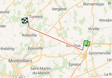
Trail Walking of 9.3 km to be discovered at Normandy, Seine-Maritime, Étainhus. This trail is proposed by DDLEDANDY.
Positioning
Country:
France
Region :
Normandy
Department/Province :
Seine-Maritime
Municipality :
Étainhus
Location:
Unknown
Start:(Dec)
Start:(UTM)
306950 ; 5493166 (31U) N.
Comments