


PR_56_Ile-D-Arz_AA_01_Ile-D'Arz_Circuit1b_20240917

patrickdanilo
User
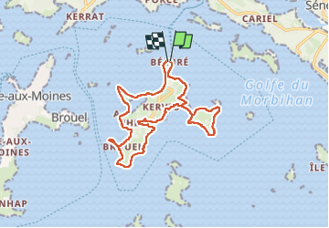

Length
16.6 km

Max alt
18 m

Uphill gradient
73 m
Km-Effort
17.6 km

Min alt
-3 m

Downhill gradient
73 m
Boucle
Yes
Creation date :
2024-09-17 09:07:17.728
Updated on :
2025-07-28 11:34:49.297
3h39
Difficulty : Very easy

FREE GPS app for hiking
 SityTrail
IGN / Geographical institutes
SityTrail Plus
The world is yours!
About
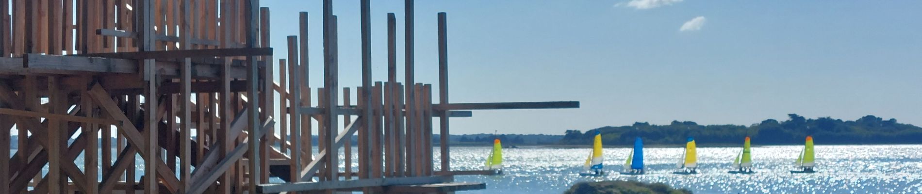
Trail Walking of 16.6 km to be discovered at Brittany, Morbihan, Île-d'Arz. This trail is proposed by patrickdanilo.
Description
Randonnée Marche de 16,6 km à découvrir à Bretagne, Morbihan, Île-d'Arz. Cette randonnée est proposée par patrickdanilo.
Photos


Positioning
Country:
France
Region :
Brittany
Department/Province :
Morbihan
Municipality :
Île-d'Arz
Location:
Unknown
Start:(Dec)
Start:(UTM)
515537 ; 5272494 (30T) N.
Comments