


Maisse - Forêt communale de Milly-la-Forêt

guydu41
User


2h23
Difficulty : Medium

FREE GPS app for hiking
 SityTrail
IGN / Geographical institutes
SityTrail Plus
The world is yours!
About
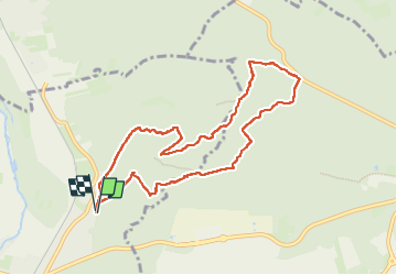
Trail Walking of 8.6 km to be discovered at Ile-de-France, Essonne, Maisse. This trail is proposed by guydu41.
Description
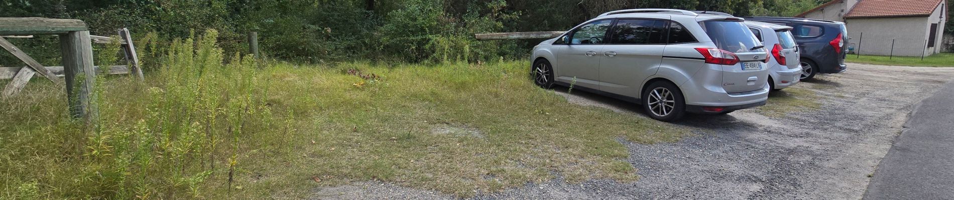
Le circuit en sens horaire démarre depuis un petit parking 65-55 Rue de Malabry, 91720 Maisse.
Il traverse le Bois de Malabri et ses chaos rocheux en n'empruntant que des chemins et des sentiers souvent étroits, tortueux, avec des montées et des descentes parfois abruptes.
Au retour vers le parking de départ, à la jonction avec le GR1, le circuit passe à côté d’un énorme bloc rocheux isolé dans la Forêt Communale de Milly-la-Forêt.
Photos


28 photos in total. Please click on a photo to see them all in the gallery.
Positioning
Comments