


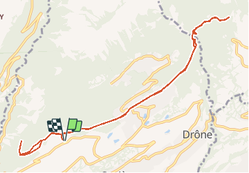


4.5 km | 7.4 km-effort

User


FREE GPS app for hiking
 SityTrail
IGN / Geographical institutes
SityTrail World
The world is yours!
Trail Walking of 11.6 km to be discovered at Valais/Wallis, Sion, Savièse. This trail is proposed by duamerg.
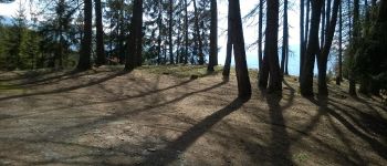
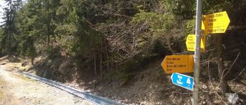
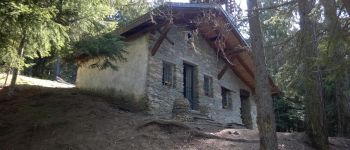
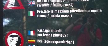
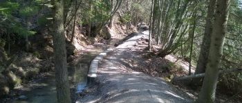
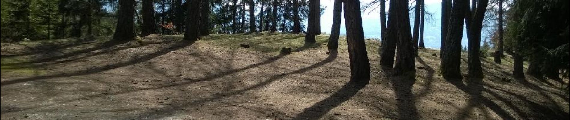
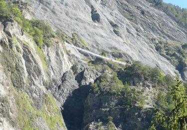
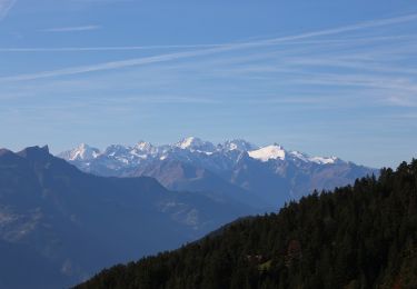
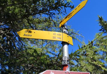
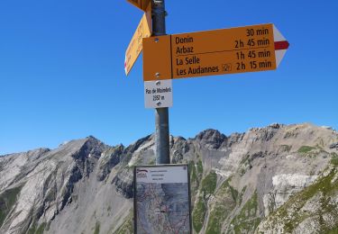
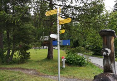
Différents parking sont à disposition dans les hauts de Chandolin (pas très facile à trouver), De là le chemin est bien indiqué. Partir à gauche pour trouver la chapelle Ste Marguerite et le nouveau tronçon ouvert récemment (encore fermé en avril). Agréable ballade en forêt jusqu'à Prafirmin que l'on traverse pour rejoindre le deuxième bisse. A la fin de ce bisse courte et forte montée pour rejoindre le pont qui traverse le Drahin et vous mène par un joli chemin jusqu'à Planeige pour un agréable pic-nic et éventuellement continuer jusqu'à Arbaz. Retour par le même chemin. Agréable ballade avec vue sur les alpes valaisannes.


On foot

Walking
Walking
On foot
Nordic walking
Nordic walking
Nordic walking
Nordic walking