


Le Serre de Perret

ARVIEU
User
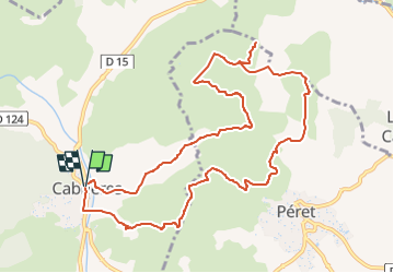

Length
12.2 km

Max alt
330 m

Uphill gradient
366 m
Km-Effort
17 km

Min alt
108 m

Downhill gradient
365 m
Boucle
Yes
Creation date :
2024-09-22 06:41:32.525
Updated on :
2024-09-22 06:48:18.057
4h30
Difficulty : Medium

FREE GPS app for hiking
 SityTrail
IGN / Geographical institutes
SityTrail Plus
The world is yours!
About
Trail Walking of 12.2 km to be discovered at Occitania, Hérault, Cabrières. This trail is proposed by ARVIEU.
Description
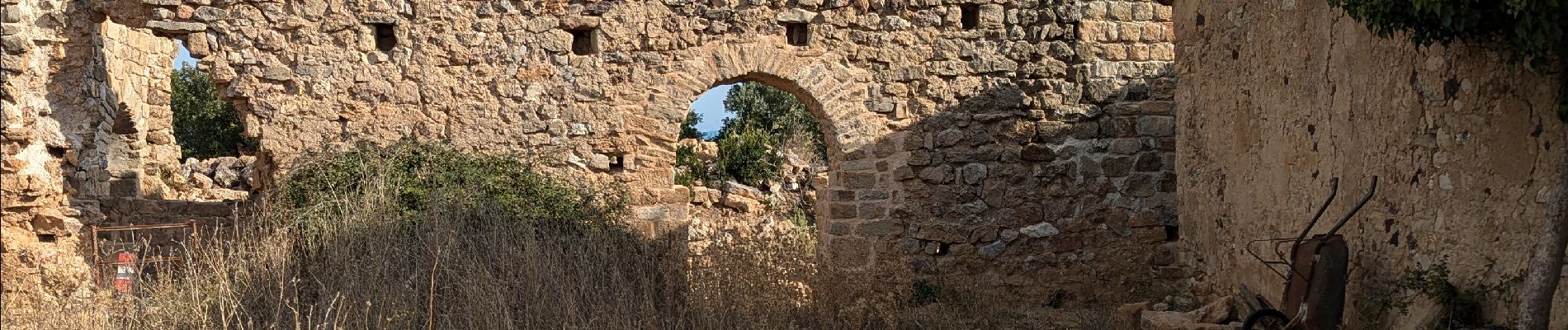
Départ de Cabrières
Photos


Positioning
Country:
France
Region :
Occitania
Department/Province :
Hérault
Municipality :
Cabrières
Location:
Unknown
Start:(Dec)
Start:(UTM)
529374 ; 4825140 (31T) N.
Comments