


Palavas

Roger Philippe Wallez
User GUIDE
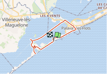

Length
13.6 km

Max alt
13 m

Uphill gradient
53 m
Km-Effort
14.3 km

Min alt
-2 m

Downhill gradient
53 m
Boucle
Yes
Creation date :
2024-09-23 08:35:38.0
Updated on :
2024-09-23 12:51:50.121
4h15
Difficulty : Difficult

FREE GPS app for hiking
 SityTrail
IGN / Geographical institutes
SityTrail Plus
The world is yours!
About
Trail Walking of 13.6 km to be discovered at Occitania, Hérault, Villeneuve-lès-Maguelone. This trail is proposed by Roger Philippe Wallez.
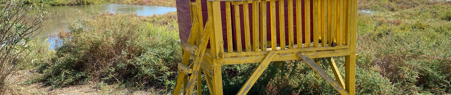
Photos


Positioning
Country:
France
Region :
Occitania
Department/Province :
Hérault
Municipality :
Villeneuve-lès-Maguelone
Location:
Unknown
Start:(Dec)
Start:(UTM)
573182 ; 4818569 (31T) N.
Comments