


lac des Girardes

Lucien84
User
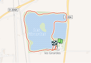

Length
2.5 km

Max alt
52 m

Uphill gradient
27 m
Km-Effort
2.8 km

Min alt
32 m

Downhill gradient
31 m
Boucle
Yes
Creation date :
2024-08-28 07:04:55.321
Updated on :
2024-09-24 09:25:15.317
45m
Difficulty : Very easy

FREE GPS app for hiking
 SityTrail
IGN / Geographical institutes
SityTrail Plus
The world is yours!
About
Trail Walking of 2.5 km to be discovered at Provence-Alpes-Côte d'Azur, Vaucluse, Lapalud. This trail is proposed by Lucien84.
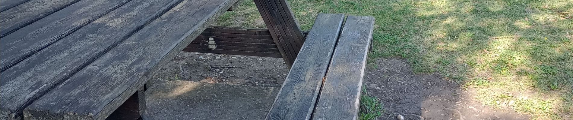
Photos


Positioning
Country:
France
Region :
Provence-Alpes-Côte d'Azur
Department/Province :
Vaucluse
Municipality :
Lapalud
Location:
Unknown
Start:(Dec)
Start:(UTM)
636033 ; 4907916 (31T) N.
Comments