


gorges du Blavet

bernir
User
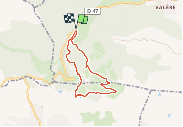

Length
7.1 km

Max alt
270 m

Uphill gradient
231 m
Km-Effort
10.1 km

Min alt
91 m

Downhill gradient
232 m
Boucle
Yes
Creation date :
2024-09-26 08:07:28.621
Updated on :
2024-09-27 13:15:43.226
6h40
Difficulty : Easy

FREE GPS app for hiking
 SityTrail
IGN / Geographical institutes
SityTrail Plus
The world is yours!
About
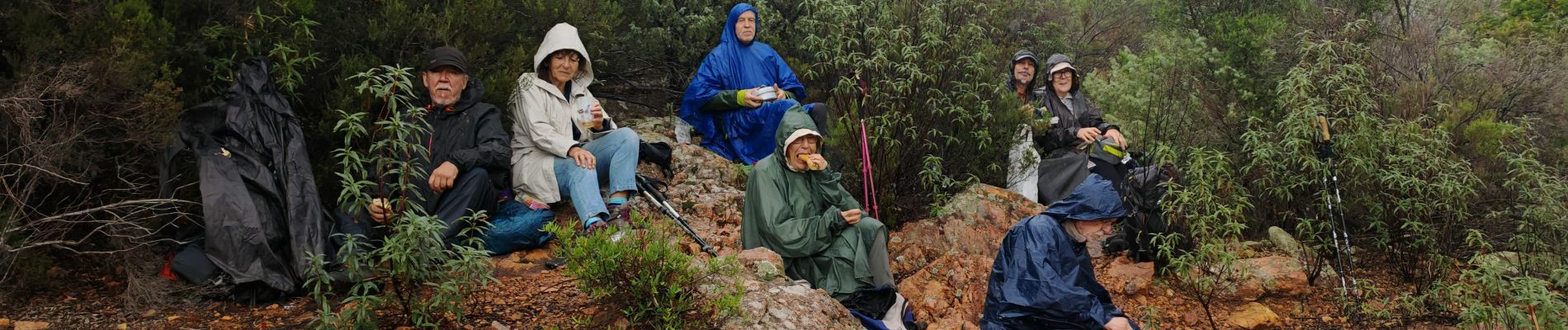
Trail Walking of 7.1 km to be discovered at Provence-Alpes-Côte d'Azur, Var, Bagnols-en-Forêt. This trail is proposed by bernir.
Photos


Positioning
Country:
France
Region :
Provence-Alpes-Côte d'Azur
Department/Province :
Var
Municipality :
Bagnols-en-Forêt
Location:
Unknown
Start:(Dec)
Start:(UTM)
310470 ; 4822138 (32T) N.
Comments