


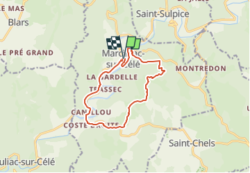
Marcillac sur célé-Monteils (Lot)

houbart
User

Length
12.7 km

Max alt
342 m

Uphill gradient
357 m
Km-Effort
17.4 km

Min alt
146 m

Downhill gradient
356 m
Boucle
Yes
Creation date :
2024-09-27 13:04:12.475
Updated on :
2024-09-27 13:07:20.136
0m
Difficulty : Very easy

FREE GPS app for hiking
 SityTrail
IGN / Geographical institutes
SityTrail Plus
The world is yours!
About
Trail Walking of 12.7 km to be discovered at Occitania, Lot, Marcilhac-sur-Célé. This trail is proposed by houbart.
Positioning
Country:
France
Region :
Occitania
Department/Province :
Lot
Municipality :
Marcilhac-sur-Célé
Location:
Unknown
Start:(Dec)
Start:(UTM)
402445 ; 4934106 (31T) N.
Comments