


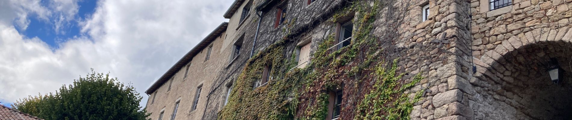
Chalencon

jpblimond
User

Length
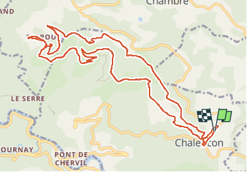
14.9 km

Max alt
870 m

Uphill gradient
515 m
Km-Effort
22 km

Min alt
601 m

Downhill gradient
511 m
Boucle
Yes
Creation date :
2024-09-27 11:20:57.0
Updated on :
2024-09-27 19:28:47.567
4h38
Difficulty : Medium

FREE GPS app for hiking
 SityTrail
IGN / Geographical institutes
SityTrail Plus
The world is yours!
About
Trail Walking of 14.9 km to be discovered at Auvergne-Rhône-Alpes, Ardèche, Chalencon. This trail is proposed by jpblimond.
Photos


Positioning
Country:
France
Region :
Auvergne-Rhône-Alpes
Department/Province :
Ardèche
Municipality :
Chalencon
Location:
Unknown
Start:(Dec)
Start:(UTM)
624542 ; 4970769 (31T) N.
Comments