


Plaine de l'escalier / Enduro Rouge

supercolas
User GUIDE
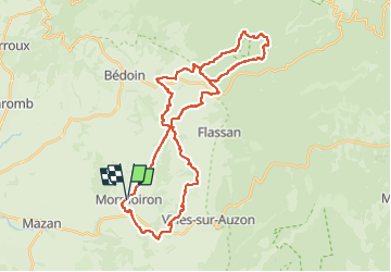

Length
40 km

Max alt
1075 m

Uphill gradient
1141 m
Km-Effort
55 km

Min alt
203 m

Downhill gradient
1142 m
Boucle
Yes
Creation date :
2024-09-28 11:52:30.029
Updated on :
2024-09-28 18:24:10.521
2h50
Difficulty : Difficult

FREE GPS app for hiking
 SityTrail
IGN / Geographical institutes
SityTrail Plus
The world is yours!
About
Trail Mountain bike of 40 km to be discovered at Provence-Alpes-Côte d'Azur, Vaucluse, Mormoiron. This trail is proposed by supercolas.
Description
PNR VTX
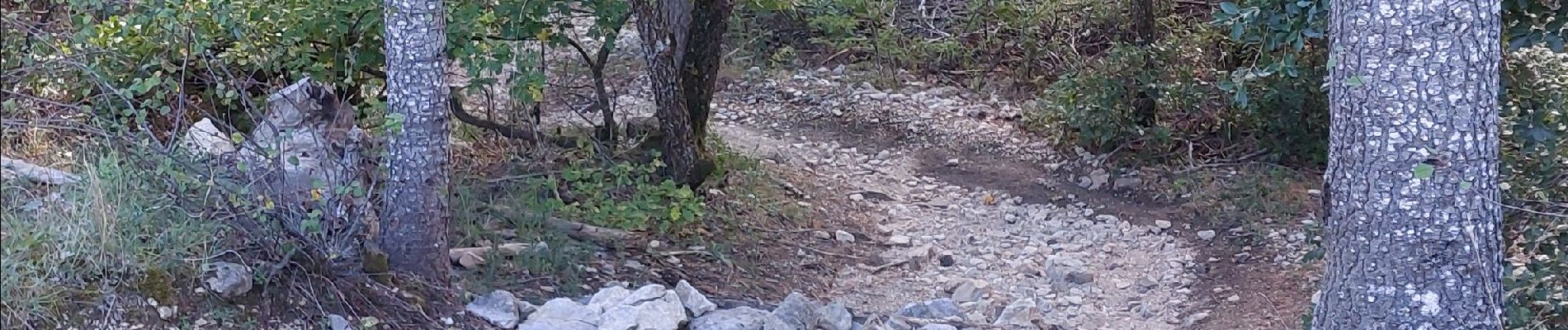
Photos


Positioning
Country:
France
Region :
Provence-Alpes-Côte d'Azur
Department/Province :
Vaucluse
Municipality :
Mormoiron
Location:
Unknown
Start:(Dec)
Start:(UTM)
674818 ; 4881695 (31T) N.
Comments