


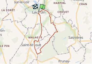
Lavardin - Chemin de la roue des Carriers

guydu41
User


3h31
Difficulty : Medium

FREE GPS app for hiking
 SityTrail
IGN / Geographical institutes
SityTrail Plus
The world is yours!
About
Trail Walking of 12.9 km to be discovered at Centre-Loire Valley, Loir-et-Cher. This trail is proposed by guydu41.
Description
Le circuit démarre depuis le parking Place du château, Rue de la Fontaine, 41800 Lavardin.
Un panneau avec une carte montre le plan de l'itinéraire balisé jaune qui se parcourt dans le sens antihoraire.
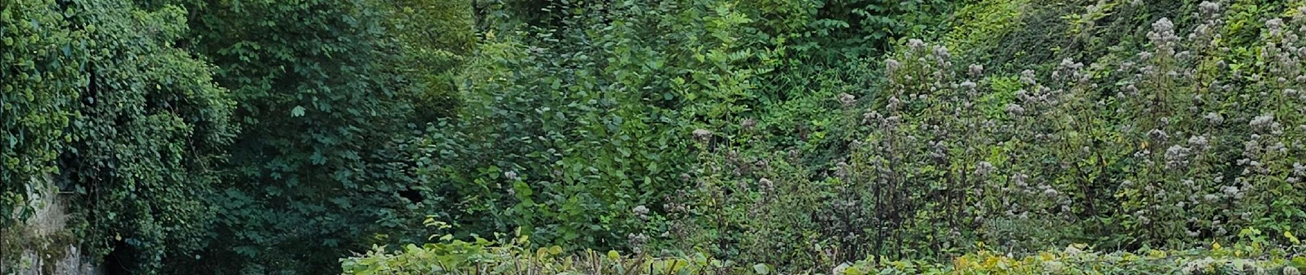
Le début du parcours permet d'admirer le château depuis plusieurs endroits.
Le circuit quitte la vallée du Loir, descend vers la vallée du Langeron, traverse la Forêt de Prunay, redescend à nouveau vers la vallée du Langeron pour revenir au point de départ en longeant des habitations troglodytes sur les hauteurs du coteau.
Photos


28 photos in total. Please click on a photo to see them all in the gallery.
Positioning
Comments