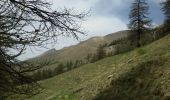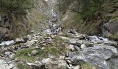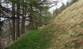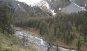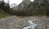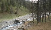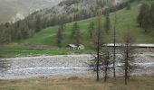

Cabane et pont de la Lavine

Dervalmarc
User

Length
3.7 km

Max alt
2171 m

Uphill gradient
132 m

Km-Effort
5.4 km

Min alt
2055 m

Downhill gradient
129 m
Boucle
Yes
Creation date :
2015-05-15 00:00:00.0
Updated on :
2015-05-15 00:00:00.0
1h01
Difficulty : Very easy

FREE GPS app for hiking
About
Trail Walking of 3.7 km to be discovered at Provence-Alpes-Côte d'Azur, Hautes-Alpes, Ceillac. This trail is proposed by Dervalmarc.
Description
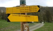
Partis pour faire le lac de Clausis. Celui ci inaccessible cause avalanche nous nous sommes rabattus sur cette petite boucle à faire en famille.
Positioning
Country:
France
Region :
Provence-Alpes-Côte d'Azur
Department/Province :
Hautes-Alpes
Municipality :
Ceillac
Location:
Unknown
Start:(Dec)
Start:(UTM)
329544 ; 4946775 (32T) N.
Comments
Trails nearby

Queyras_lac de Clausis


Walking
Very easy
(1)
Ceillac,
Provence-Alpes-Côte d'Azur,
Hautes-Alpes,
France

13.1 km | 26 km-effort
2h 59min
Yes
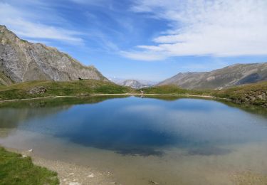
le Longet ou tête du Rissace


Walking
Medium
Ceillac,
Provence-Alpes-Côte d'Azur,
Hautes-Alpes,
France

13 km | 25 km-effort
6h 26min
Yes
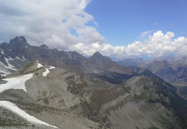
Lac Ste Anne et Tête de Girardin


Walking
Medium
Ceillac,
Provence-Alpes-Côte d'Azur,
Hautes-Alpes,
France

14.4 km | 27 km-effort
5h 48min
Yes

lac Sainte Anne


Walking
Easy
(2)
Ceillac,
Provence-Alpes-Côte d'Azur,
Hautes-Alpes,
France

10.7 km | 17.9 km-effort
5h 16min
No
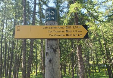
lac Saint Anne et Miroir


Walking
Medium
Ceillac,
Provence-Alpes-Côte d'Azur,
Hautes-Alpes,
France

10.9 km | 18.5 km-effort
4h 14min
Yes
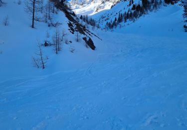
tête de la Cula


Touring skiing
Difficult
Saint-Véran,
Provence-Alpes-Côte d'Azur,
Hautes-Alpes,
France

14.2 km | 31 km-effort
3h 31min
Yes
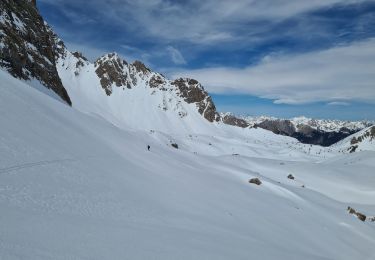
Col et tête de la petite part


Touring skiing
Very difficult
Ceillac,
Provence-Alpes-Côte d'Azur,
Hautes-Alpes,
France

15.7 km | 35 km-effort
3h 32min
Yes
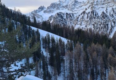
col albert tête de rissace


Touring skiing
Medium
Ceillac,
Provence-Alpes-Côte d'Azur,
Hautes-Alpes,
France

15.5 km | 32 km-effort
3h 29min
Yes
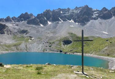
J6 Queyras 2022


Walking
Difficult
Ceillac,
Provence-Alpes-Côte d'Azur,
Hautes-Alpes,
France

18.5 km | 33 km-effort
4h 49min
Yes


 SityTrail


