


Canal du midi étape 1

duchaine.nicolas
User
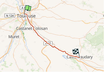

Length
64 km

Max alt
200 m

Uphill gradient
448 m
Km-Effort
70 km

Min alt
136 m

Downhill gradient
419 m
Boucle
No
Creation date :
2024-09-29 11:13:27.925
Updated on :
2024-09-29 16:24:40.01
3h23
Difficulty : Easy
3h23
Difficulty : Easy

FREE GPS app for hiking
 SityTrail
IGN / Geographical institutes
SityTrail Plus
The world is yours!
About
Trail Bicycle tourism of 64 km to be discovered at Occitania, Haute-Garonne, Toulouse. This trail is proposed by duchaine.nicolas.
Description
Toulouse Castelnaudary
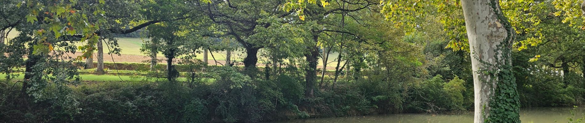
Photos


Positioning
Country:
France
Region :
Occitania
Department/Province :
Haute-Garonne
Municipality :
Toulouse
Location:
Unknown
Start:(Dec)
Start:(UTM)
373039 ; 4830058 (31T) N.
Comments