


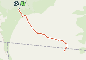
(J11)-Gîte du volcan - Piton de la Soufrière

GeorgesV.
User

Length
13.3 km

Max alt
2487 m

Uphill gradient
562 m
Km-Effort
21 km

Min alt
2213 m

Downhill gradient
562 m
Boucle
Yes
Creation date :
2024-09-30 04:03:59.0
Updated on :
2024-09-30 10:54:14.021

FREE GPS app for hiking
 SityTrail
IGN / Geographical institutes
SityTrail Plus
The world is yours!
About
Trail of 13.3 km to be discovered at Réunion, Unknown, Sainte-Rose. This trail is proposed by GeorgesV..
Positioning
Country:
France
Region :
Réunion
Department/Province :
Unknown
Municipality :
Sainte-Rose
Location:
Unknown
Start:(Dec)
Start:(UTM)
363764 ; 7653223 (40K) S.
Comments