


La muraille

sameja
User

Length
12.8 km

Max alt
451 m

Uphill gradient
752 m
Km-Effort
22 km

Min alt
76 m

Downhill gradient
568 m
Boucle
No
Creation date :
2024-10-01 14:50:19.0
Updated on :
2024-10-01 15:56:04.505
52m
Difficulty : Medium

FREE GPS app for hiking
 SityTrail
IGN / Geographical institutes
SityTrail Plus
The world is yours!
About
Trail Trail of 12.8 km to be discovered at Guadeloupe, Unknown, Lamentin. This trail is proposed by sameja.
Description
Boucle de galbas
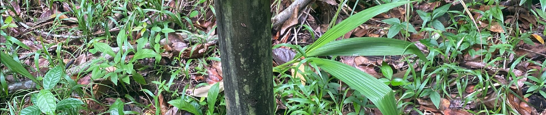
Photos


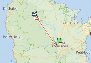
Positioning
Country:
France
Region :
Guadeloupe
Department/Province :
Unknown
Municipality :
Lamentin
Location:
Unknown
Start:(Dec)
Start:(UTM)
642380 ; 1792452 (20Q) N.
Comments