


2024 10 03

ppotier3
User
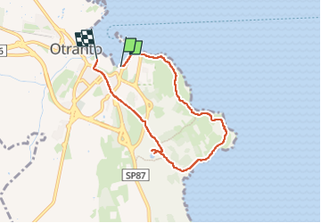

Length
7 km

Max alt
43 m

Uphill gradient
95 m
Km-Effort
8.2 km

Min alt
-2 m

Downhill gradient
88 m
Boucle
No
Creation date :
2024-10-03 07:32:52.0
Updated on :
2024-10-03 10:32:44.723

FREE GPS app for hiking
 SityTrail
IGN / Geographical institutes
SityTrail Plus
The world is yours!
About
Trail of 7 km to be discovered at Apulia, Lecce, Otranto. This trail is proposed by ppotier3.
Description
Attention
Positioning
Country:
Italy
Region :
Apulia
Department/Province :
Lecce
Municipality :
Otranto
Location:
Unknown
Start:(Dec)
Start:(UTM)
286575 ; 4446879 (34T) N.
Comments