


Cuges les pins, La Ste Baume, Le Jas Sylvain

Yot
User
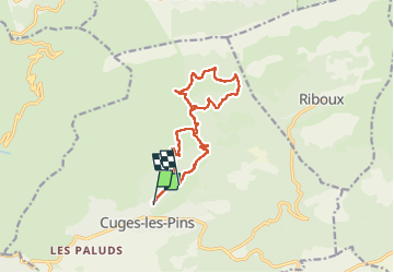

Length
13.2 km

Max alt
753 m

Uphill gradient
581 m
Km-Effort
20 km

Min alt
226 m

Downhill gradient
425 m
Boucle
No
Creation date :
2024-10-03 07:42:37.861
Updated on :
2024-10-03 14:27:59.485
4h37
Difficulty : Medium

FREE GPS app for hiking
 SityTrail
IGN / Geographical institutes
SityTrail Plus
The world is yours!
About
Trail Walking of 13.2 km to be discovered at Provence-Alpes-Côte d'Azur, Bouches-du-Rhône, Cuges-les-Pins. This trail is proposed by Yot.
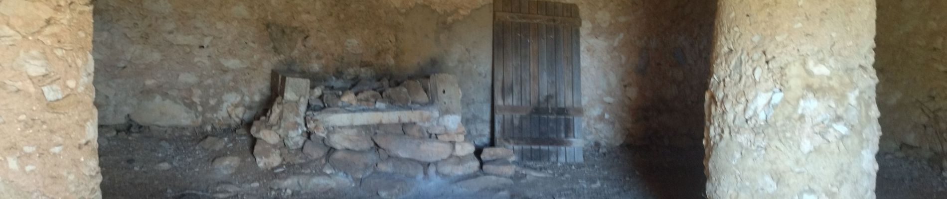
Photos


Positioning
Country:
France
Region :
Provence-Alpes-Côte d'Azur
Department/Province :
Bouches-du-Rhône
Municipality :
Cuges-les-Pins
Location:
Unknown
Start:(Dec)
Start:(UTM)
719375 ; 4795342 (31T) N.
Comments