


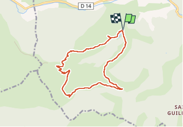
forêt de Collobrières

bernir
User

Length
8.8 km

Max alt
396 m

Uphill gradient
355 m
Km-Effort
13.6 km

Min alt
158 m

Downhill gradient
354 m
Boucle
Yes
Creation date :
2024-10-03 06:52:29.598
Updated on :
2024-10-10 16:08:50.029
3h04
Difficulty : Easy

FREE GPS app for hiking
 SityTrail
IGN / Geographical institutes
SityTrail Plus
The world is yours!
About
Trail Walking of 8.8 km to be discovered at Provence-Alpes-Côte d'Azur, Var, Collobrières. This trail is proposed by bernir.
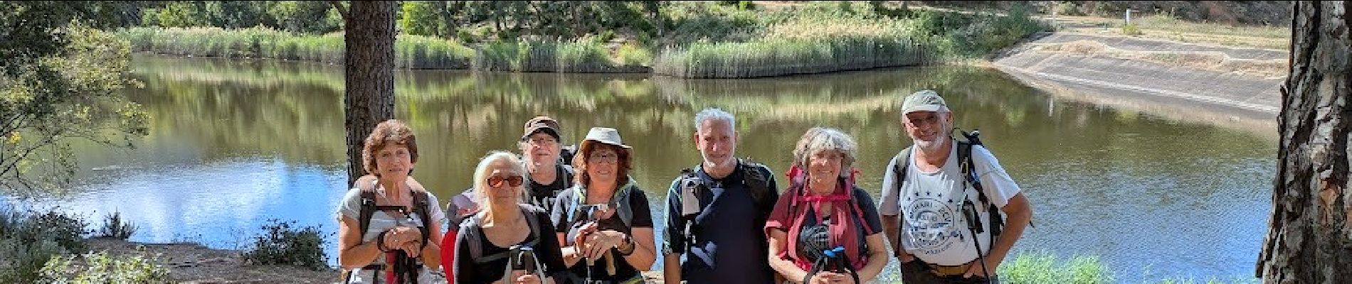
Photos


Positioning
Country:
France
Region :
Provence-Alpes-Côte d'Azur
Department/Province :
Var
Municipality :
Collobrières
Location:
Unknown
Start:(Dec)
Start:(UTM)
278236 ; 4789421 (32T) N.
Comments