


tour du Ventoux st Léger mt Serein

taguette
User
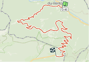

Length
14.4 km

Max alt
1428 m

Uphill gradient
1285 m
Km-Effort
28 km

Min alt
398 m

Downhill gradient
269 m
Boucle
No
Creation date :
2024-10-05 06:42:58.571
Updated on :
2024-10-05 13:03:29.519
6h19
Difficulty : Very difficult

FREE GPS app for hiking
 SityTrail
IGN / Geographical institutes
SityTrail Plus
The world is yours!
About
Trail Walking of 14.4 km to be discovered at Provence-Alpes-Côte d'Azur, Vaucluse, Saint-Léger-du-Ventoux. This trail is proposed by taguette.
Positioning
Country:
France
Region :
Provence-Alpes-Côte d'Azur
Department/Province :
Vaucluse
Municipality :
Saint-Léger-du-Ventoux
Location:
Unknown
Start:(Dec)
Start:(UTM)
682084 ; 4897486 (31T) N.
Comments