


Chantelle-la Bouble- Deneuille

Jean Yves Erard
User

Length
11.1 km

Max alt
348 m

Uphill gradient
197 m
Km-Effort
13.6 km

Min alt
279 m

Downhill gradient
152 m
Boucle
No
Creation date :
2024-10-05 11:13:05.694
Updated on :
2024-10-05 14:22:51.738
3h08
Difficulty : Difficult

FREE GPS app for hiking
 SityTrail
IGN / Geographical institutes
SityTrail Plus
The world is yours!
About
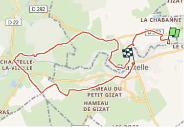
Trail Walking of 11.1 km to be discovered at Auvergne-Rhône-Alpes, Allier, Chantelle. This trail is proposed by Jean Yves Erard.
Description
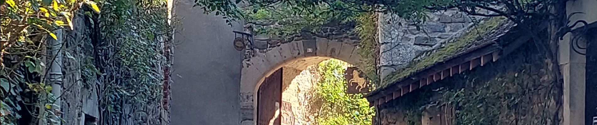
joli chemin qui suit la Bouble puis remonte sur les plateaux.
être bien équipé pour la première partie
Photos


Positioning
Country:
France
Region :
Auvergne-Rhône-Alpes
Department/Province :
Allier
Municipality :
Chantelle
Location:
Unknown
Start:(Dec)
Start:(UTM)
512614 ; 5121156 (31T) N.
Comments