


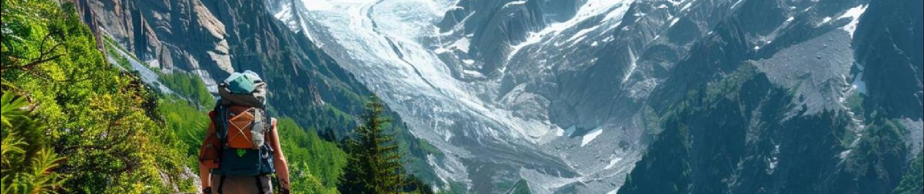
Lacs de Barroude

ARVIEU
User
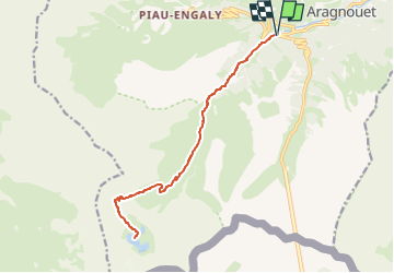

Length
17.6 km

Max alt
2388 m

Uphill gradient
1073 m
Km-Effort
32 km

Min alt
1393 m

Downhill gradient
1073 m
Boucle
Yes
Creation date :
2024-10-06 16:31:32.5
Updated on :
2024-10-06 16:36:09.579
8h00
Difficulty : Difficult

FREE GPS app for hiking
 SityTrail
IGN / Geographical institutes
SityTrail Plus
The world is yours!
About
Trail Walking of 17.6 km to be discovered at Occitania, Hautespyrenees, Aragnouet. This trail is proposed by ARVIEU.
Photos


Positioning
Country:
France
Region :
Occitania
Department/Province :
Hautespyrenees
Municipality :
Aragnouet
Location:
Unknown
Start:(Dec)
Start:(UTM)
270047 ; 4740123 (31T) N.
Comments