


chamonix zermatt general

MCARY
User
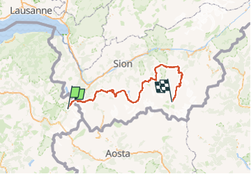

Length
186 km

Max alt
2989 m

Uphill gradient
13766 m
Km-Effort
369 km

Min alt
724 m

Downhill gradient
13409 m
Boucle
No
Creation date :
2024-10-08 14:19:06.381
Updated on :
2024-10-08 15:17:40.54
83h49
Difficulty : Very difficult

FREE GPS app for hiking
 SityTrail
IGN / Geographical institutes
SityTrail Plus
The world is yours!
About
Trail Walking of 186 km to be discovered at Auvergne-Rhône-Alpes, Upper Savoy, Chamonix-Mont-Blanc. This trail is proposed by MCARY.
Positioning
Country:
France
Region :
Auvergne-Rhône-Alpes
Department/Province :
Upper Savoy
Municipality :
Chamonix-Mont-Blanc
Location:
Unknown
Start:(Dec)
Start:(UTM)
339418 ; 5094141 (32T) N.
Comments