


TOSSA

gallo
User

Length
1034 km
Boucle
No
Creation date :
2024-08-01 09:28:42.234
Updated on :
2024-10-09 15:51:35.907
76h40
Difficulty : Very easy

FREE GPS app for hiking
 SityTrail
IGN / Geographical institutes
SityTrail Plus
The world is yours!
About
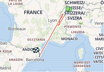
Trail Walking of 1034 km to be discovered at Auvergne-Rhône-Alpes, Upper Savoy, Montriond. This trail is proposed by gallo.
Positioning
Country:
France
Region :
Auvergne-Rhône-Alpes
Department/Province :
Upper Savoy
Municipality :
Montriond
Location:
Unknown
Start:(Dec)
Start:(UTM)
325810 ; 5119918 (32T) N.
Comments