


Colle de Fède, la Limate, Signes 09-10-2024

Christiancordin
User
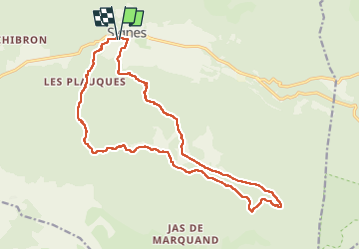

Length
19.9 km

Max alt
822 m

Uphill gradient
687 m
Km-Effort
29 km

Min alt
329 m

Downhill gradient
687 m
Boucle
Yes
Creation date :
2024-10-09 06:58:49.941
Updated on :
2024-10-10 16:17:27.915
5h11
Difficulty : Medium

FREE GPS app for hiking
 SityTrail
IGN / Geographical institutes
SityTrail Plus
The world is yours!
About
Trail Walking of 19.9 km to be discovered at Provence-Alpes-Côte d'Azur, Var, Signes. This trail is proposed by Christiancordin.
Description
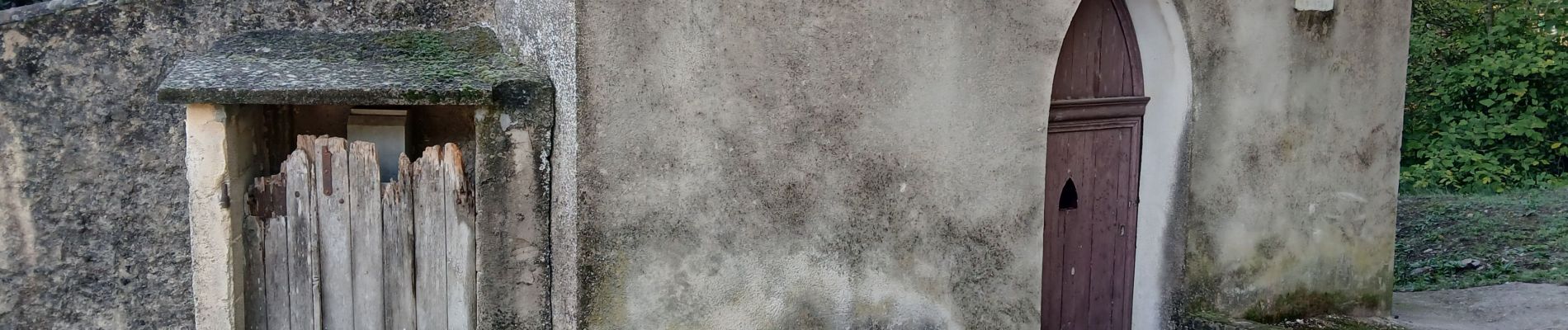
Départ Signes pk du Stade, chapelle St Clair, vallon des Croupatières, colle de Fède, la Limate, GR 51 GR 99.
Photos


Positioning
Country:
France
Region :
Provence-Alpes-Côte d'Azur
Department/Province :
Var
Municipality :
Signes
Location:
Unknown
Start:(Dec)
Start:(UTM)
732116 ; 4796928 (31T) N.
Comments