


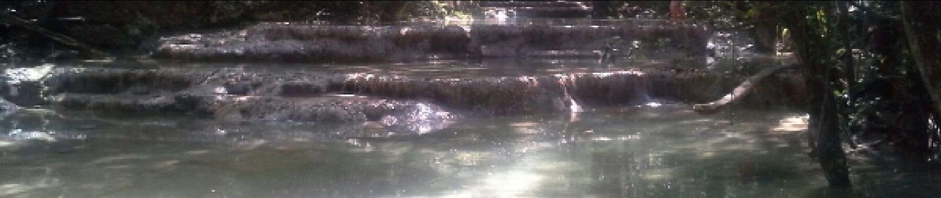
les sources de l'huveaune

amiral13
User GUIDE


5h41
Difficulty : Very easy

FREE GPS app for hiking
 SityTrail
IGN / Geographical institutes
SityTrail Plus
The world is yours!
About
Trail Walking of 5.8 km to be discovered at Provence-Alpes-Côte d'Azur, Var, Nans-les-Pins. This trail is proposed by amiral13.
Description
au départ des Aumèdes, commune de Nans les pins, une charmante randonnée très familliale.
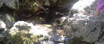
Pensez à prendre au plus tôt le sentier rive gauche qui est plus proche de la rivière et de ces gours
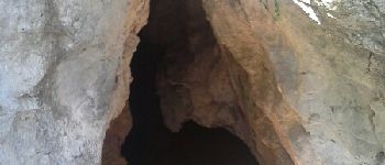
Photos


Positioning
Comments