


Cap de Pic

Mascart
User

Length
11.1 km

Max alt
311 m

Uphill gradient
221 m
Km-Effort
14 km

Min alt
146 m

Downhill gradient
229 m
Boucle
Yes
Creation date :
2024-10-11 06:52:55.808
Updated on :
2024-10-11 10:48:31.031
3h16
Difficulty : Medium

FREE GPS app for hiking
 SityTrail
IGN / Geographical institutes
SityTrail Plus
The world is yours!
About
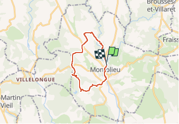
Trail Walking of 11.1 km to be discovered at Occitania, Aude, Montolieu. This trail is proposed by Mascart.
Description
Montolieu/Villeneuve/cap de pic
Positioning
Country:
France
Region :
Occitania
Department/Province :
Aude
Municipality :
Montolieu
Location:
Unknown
Start:(Dec)
Start:(UTM)
436389 ; 4795981 (31T) N.
Comments