


rando de theux 3

Daniel Dufour 2
User
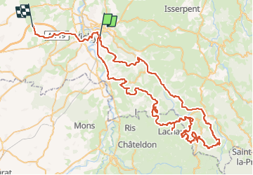

Length
111 km

Max alt
900 m

Uphill gradient
2774 m
Km-Effort
148 km

Min alt
251 m

Downhill gradient
2741 m
Boucle
No
Creation date :
2024-10-12 12:39:32.109
Updated on :
2024-10-13 06:51:21.369
18h09
Difficulty : Very easy

FREE GPS app for hiking
 SityTrail
IGN / Geographical institutes
SityTrail Plus
The world is yours!
About
Trail Quad of 111 km to be discovered at Auvergne-Rhône-Alpes, Allier, Cusset. This trail is proposed by Daniel Dufour 2.
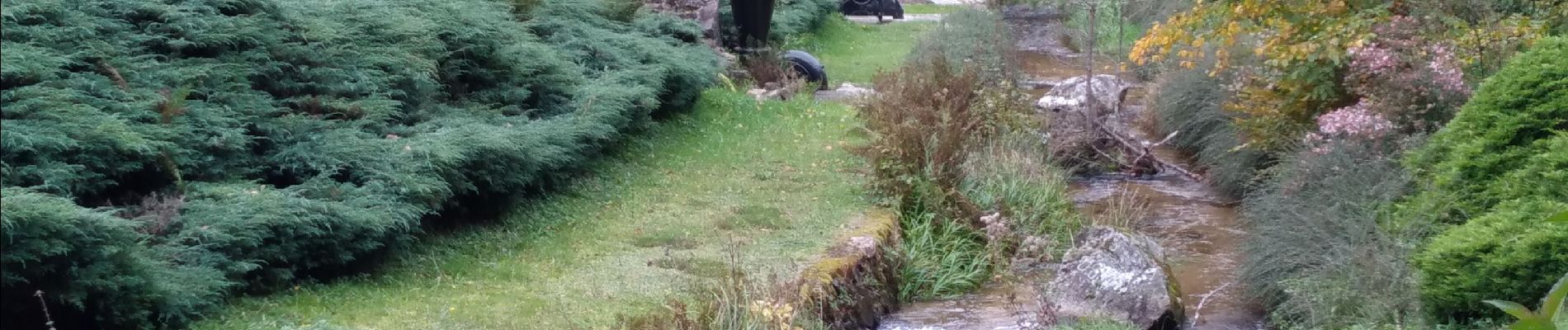
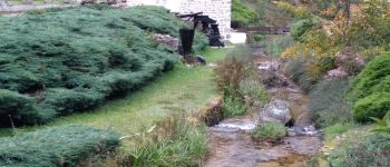
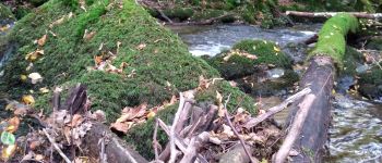
Photos


Positioning
Country:
France
Region :
Auvergne-Rhône-Alpes
Department/Province :
Allier
Municipality :
Cusset
Location:
Unknown
Start:(Dec)
Start:(UTM)
534661 ; 5108064 (31T) N.
Comments