


bois de Fontfroide

Ada11
User GUIDE
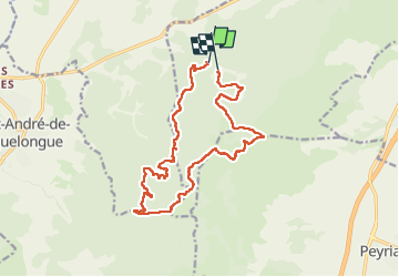

Length
17.1 km

Max alt
257 m

Uphill gradient
363 m
Km-Effort
22 km

Min alt
106 m

Downhill gradient
354 m
Boucle
No
Creation date :
2024-10-06 07:04:57.397
Updated on :
2024-10-13 14:46:29.87
6h59
Difficulty : Very difficult

FREE GPS app for hiking
 SityTrail
IGN / Geographical institutes
SityTrail Plus
The world is yours!
About
Trail Walking of 17.1 km to be discovered at Occitania, Aude, Narbonne. This trail is proposed by Ada11.
Description
pause du déjeuner 45 mn non arrêtée.
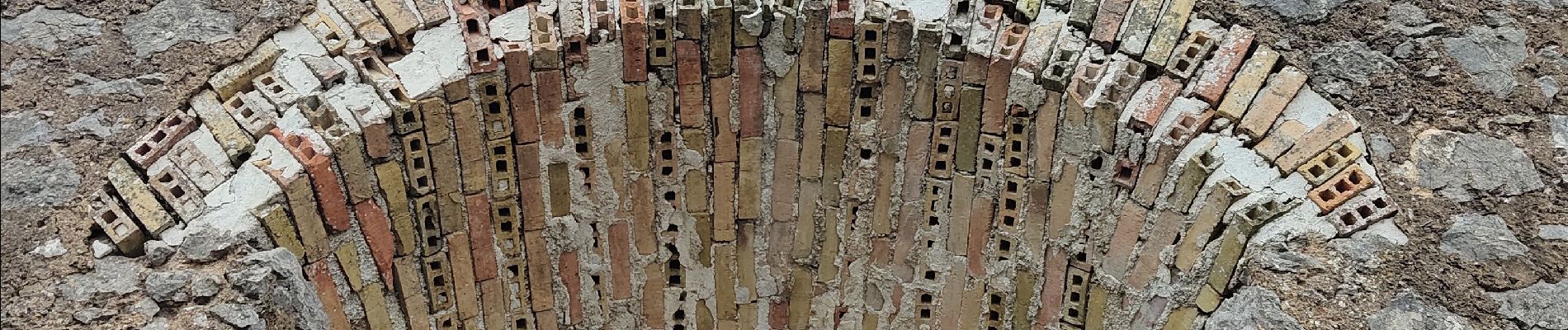
Photos


Positioning
Country:
France
Region :
Occitania
Department/Province :
Aude
Municipality :
Narbonne
Location:
Unknown
Start:(Dec)
Start:(UTM)
491508 ; 4775302 (31T) N.
Comments