


Mine de la Garonne 2-18-10-2024

Christiancordin
User
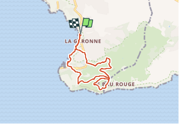

Length
7.2 km

Max alt
121 m

Uphill gradient
175 m
Km-Effort
9.6 km

Min alt
1 m

Downhill gradient
174 m
Boucle
Yes
Creation date :
2024-10-18 11:56:26.238
Updated on :
2024-10-19 17:01:19.018
1h55
Difficulty : Easy

FREE GPS app for hiking
 SityTrail
IGN / Geographical institutes
SityTrail Plus
The world is yours!
About
Trail Walking of 7.2 km to be discovered at Provence-Alpes-Côte d'Azur, Var, Le Pradet. This trail is proposed by Christiancordin.
Description
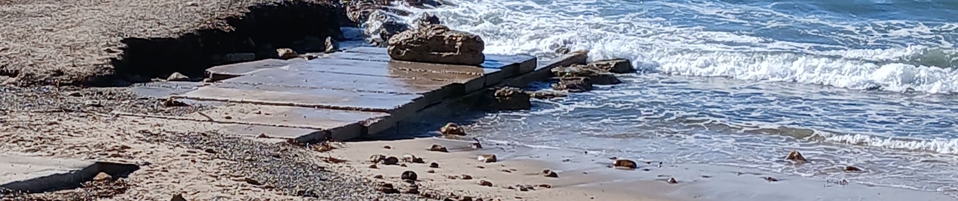
PK plage de la Garonne, sentier du littoral, les Oursinières, le pas des Gardéens, la mine, sentier découverte, Mauvallon.
Photos


Positioning
Country:
France
Region :
Provence-Alpes-Côte d'Azur
Department/Province :
Var
Municipality :
Le Pradet
Location:
Unknown
Start:(Dec)
Start:(UTM)
257888 ; 4775443 (32T) N.
Comments