


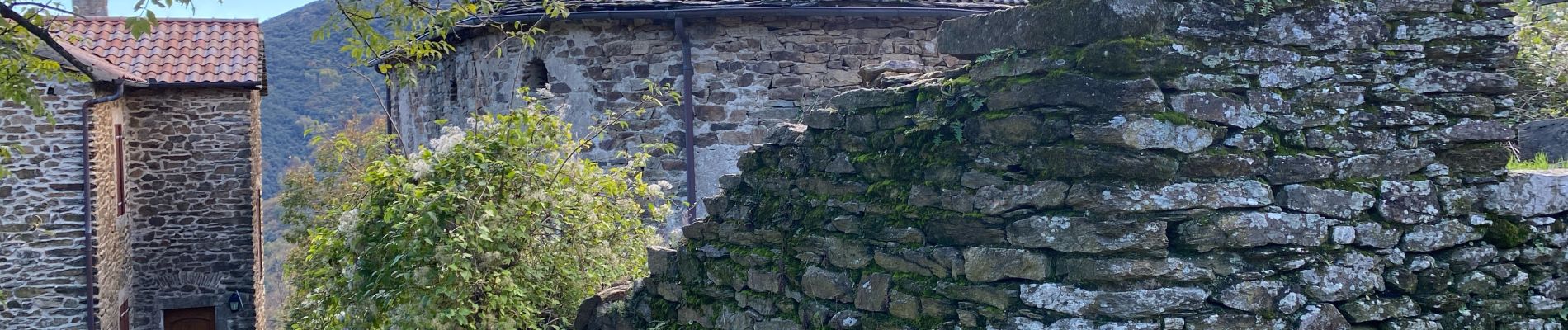
Malone et Elze serre de Barre

Roger Philippe Wallez
User GUIDE
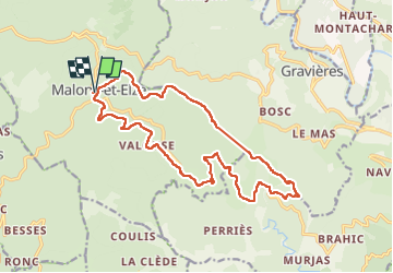

Length
19 km

Max alt
911 m

Uphill gradient
646 m
Km-Effort
28 km

Min alt
563 m

Downhill gradient
647 m
Boucle
Yes
Creation date :
2024-10-19 08:08:28.0
Updated on :
2024-10-19 15:13:40.446
6h28
Difficulty : Very difficult

FREE GPS app for hiking
 SityTrail
IGN / Geographical institutes
SityTrail Plus
The world is yours!
About
Trail Walking of 19 km to be discovered at Occitania, Gard, Malons-et-Elze. This trail is proposed by Roger Philippe Wallez.
Photos


Positioning
Country:
France
Region :
Occitania
Department/Province :
Gard
Municipality :
Malons-et-Elze
Location:
Unknown
Start:(Dec)
Start:(UTM)
581437 ; 4918704 (31T) N.
Comments