


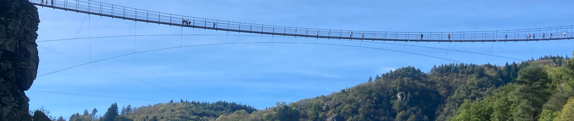
PASSERELLE DE MAZAMET AVEC PHOTOS

PascalBanide
User

Length
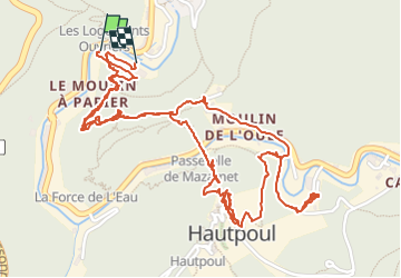
4.7 km

Max alt
459 m

Uphill gradient
249 m
Km-Effort
8 km

Min alt
287 m

Downhill gradient
250 m
Boucle
Yes
Creation date :
2024-10-20 09:05:29.0
Updated on :
2024-10-20 12:30:18.141

FREE GPS app for hiking
 SityTrail
IGN / Geographical institutes
SityTrail Plus
The world is yours!
About
Trail of 4.7 km to be discovered at Occitania, Tarn, Mazamet. This trail is proposed by PascalBanide.
Photos


Positioning
Country:
France
Region :
Occitania
Department/Province :
Tarn
Municipality :
Mazamet
Location:
Unknown
Start:(Dec)
Start:(UTM)
449370 ; 4814371 (31T) N.
Comments