


Le Lac Achard - Le Col de L'Infernet

patjobou
User
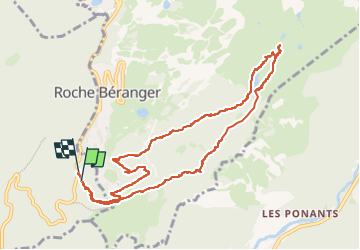

Length
10.8 km

Max alt
2044 m

Uphill gradient
440 m
Km-Effort
16.6 km

Min alt
1637 m

Downhill gradient
441 m
Boucle
Yes
Creation date :
2024-10-20 07:55:52.576
Updated on :
2024-10-20 19:41:29.927
3h47
Difficulty : Medium

FREE GPS app for hiking
 SityTrail
IGN / Geographical institutes
SityTrail Plus
The world is yours!
About
Trail Walking of 10.8 km to be discovered at Auvergne-Rhône-Alpes, Isère, Vaulnaveys-le-Haut. This trail is proposed by patjobou.
Description
Départ du plateau de l'Arselle jusqu'au Lac Achard, casse croute, puis montée au Col de l'Infernet, par une très journée d'automne. Retour par Bachat Bouloud.
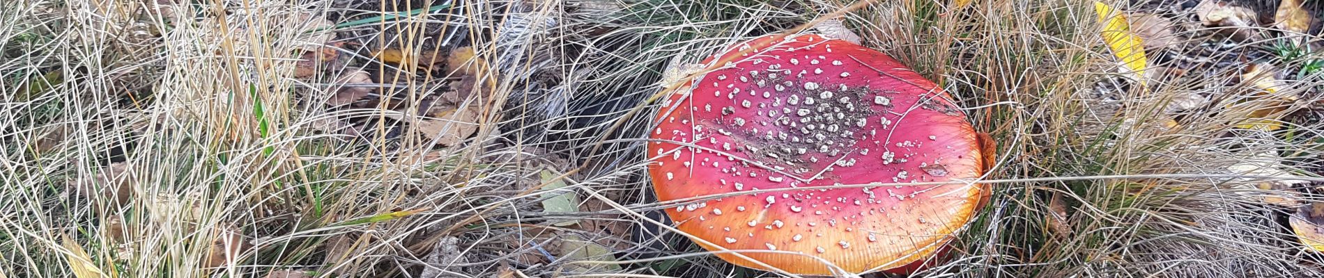
Photos


Positioning
Country:
France
Region :
Auvergne-Rhône-Alpes
Department/Province :
Isère
Municipality :
Vaulnaveys-le-Haut
Location:
Unknown
Start:(Dec)
Start:(UTM)
725930 ; 4998301 (31T) N.
Comments