


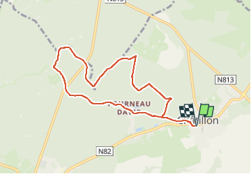
Châtillon

francoisecarlier
User

Length
8 km

Max alt
349 m

Uphill gradient
133 m
Km-Effort
9.8 km

Min alt
298 m

Downhill gradient
133 m
Boucle
Yes
Creation date :
2024-10-21 08:50:28.0
Updated on :
2024-10-21 10:27:30.649

FREE GPS app for hiking
 SityTrail
IGN / Geographical institutes
SityTrail Plus
The world is yours!
About
Trail of 8 km to be discovered at Wallonia, Luxembourg, Saint-Léger. This trail is proposed by francoisecarlier.
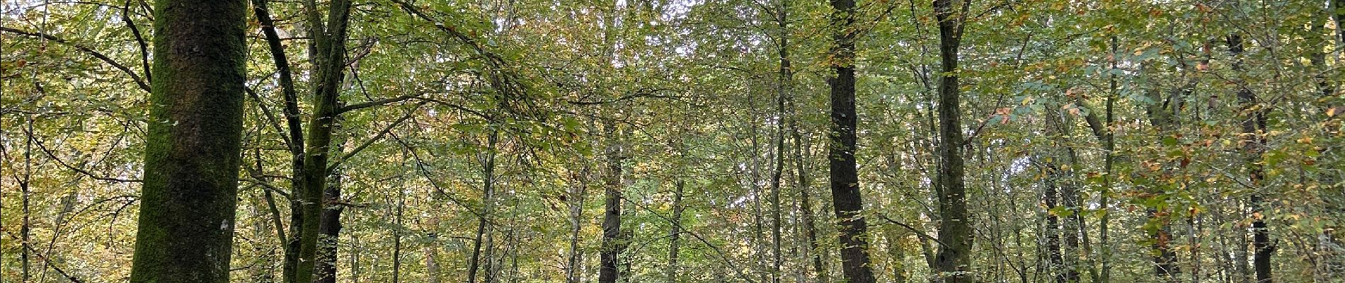
Photos


Positioning
Country:
Belgium
Region :
Wallonia
Department/Province :
Luxembourg
Municipality :
Saint-Léger
Location:
Unknown
Start:(Dec)
Start:(UTM)
694856 ; 5500397 (31U) N.
Comments