


Autour de la commune de Vaulx 74150

GuyCharvier
User
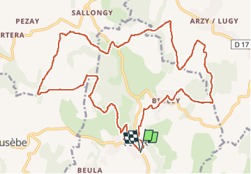

Length
14.4 km

Max alt
696 m

Uphill gradient
392 m
Km-Effort
19.6 km

Min alt
520 m

Downhill gradient
390 m
Boucle
Yes
Creation date :
2024-10-21 07:17:48.313
Updated on :
2024-10-21 12:54:21.969
3h49
Difficulty : Easy

FREE GPS app for hiking
 SityTrail
IGN / Geographical institutes
SityTrail Plus
The world is yours!
About
Trail Walking of 14.4 km to be discovered at Auvergne-Rhône-Alpes, Upper Savoy, Vaulx. This trail is proposed by GuyCharvier.
Description
Rando champêtre à faire en automne
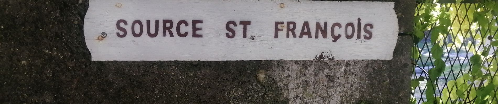
Photos


Positioning
Country:
France
Region :
Auvergne-Rhône-Alpes
Department/Province :
Upper Savoy
Municipality :
Vaulx
Location:
Unknown
Start:(Dec)
Start:(UTM)
732491 ; 5090410 (31T) N.
Comments