


Croix Toulouse#10 Sentier Denecourt N°13-15

aubr
User
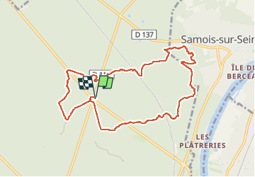

Length
9.6 km

Max alt
118 m

Uphill gradient
85 m
Km-Effort
10.7 km

Min alt
87 m

Downhill gradient
85 m
Boucle
Yes
Creation date :
2024-10-22 07:11:23.467
Updated on :
2024-10-25 12:18:04.738
2h26
Difficulty : Medium

FREE GPS app for hiking
 SityTrail
IGN / Geographical institutes
SityTrail Plus
The world is yours!
About
Trail Walking of 9.6 km to be discovered at Ile-de-France, Seine-et-Marne, Fontainebleau. This trail is proposed by aubr.
Description
Sentier Denecourt N°13-15
Départ du parking de la Croix de Toulouse
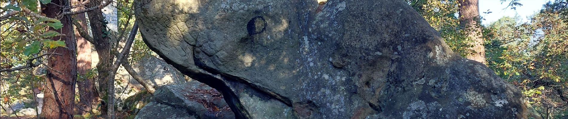
Il passe par le Pavillon Magnier, la tour de Samois, le Gros Bourdon et l’arrêt en forêt.
Photos


Positioning
Country:
France
Region :
Ile-de-France
Department/Province :
Seine-et-Marne
Municipality :
Fontainebleau
Location:
Unknown
Start:(Dec)
Start:(UTM)
479218 ; 5365709 (31U) N.
Comments