


Lebou St Jean du Gard Stevenson

kephas
User


Length
16.2 km

Max alt
603 m

Uphill gradient
508 m
Km-Effort
23 km

Min alt
184 m

Downhill gradient
590 m
Boucle
No
Creation date :
2015-05-22 00:00:00.0
Updated on :
2015-05-22 00:00:00.0
4h53
Difficulty : Medium

FREE GPS app for hiking
 SityTrail
IGN / Geographical institutes
SityTrail Plus
The world is yours!
About
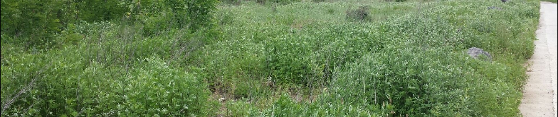
Trail Walking of 16.2 km to be discovered at Occitania, Lozère, Saint-Étienne-Vallée-Française. This trail is proposed by kephas.
Photos


Positioning
Country:
France
Region :
Occitania
Department/Province :
Lozère
Municipality :
Saint-Étienne-Vallée-Française
Location:
Unknown
Start:(Dec)
Start:(UTM)
566775 ; 4892523 (31T) N.
Comments