


fayence vallon de la camandre

jean-marie.parachini
User
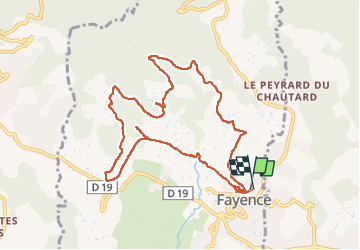

Length
11 km

Max alt
421 m

Uphill gradient
237 m
Km-Effort
14.1 km

Min alt
284 m

Downhill gradient
238 m
Boucle
Yes
Creation date :
2024-10-31 08:49:33.418
Updated on :
2024-10-31 14:13:58.377
4h27
Difficulty : Easy

FREE GPS app for hiking
 SityTrail
IGN / Geographical institutes
SityTrail Plus
The world is yours!
About
Trail Walking of 11 km to be discovered at Provence-Alpes-Côte d'Azur, Var, Fayence. This trail is proposed by jean-marie.parachini.
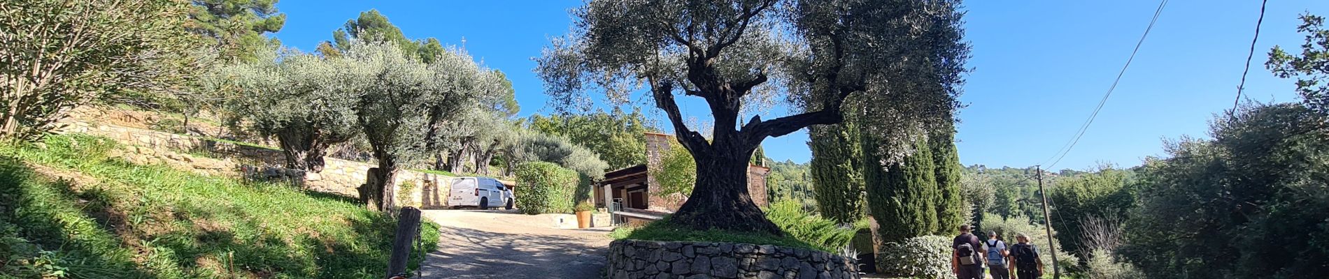
Photos


33 photos in total. Please click on a photo to see them all in the gallery.
Positioning
Country:
France
Region :
Provence-Alpes-Côte d'Azur
Department/Province :
Var
Municipality :
Fayence
Location:
Unknown
Start:(Dec)
Start:(UTM)
314111 ; 4832820 (32T) N.
Comments