


belle rando dans les Cevennes

jeff2
User

Length
10.5 km

Max alt
842 m

Uphill gradient
583 m
Km-Effort
18.2 km

Min alt
401 m

Downhill gradient
581 m
Boucle
Yes
Creation date :
2024-10-31 09:01:14.913
Updated on :
2024-10-31 15:27:54.014
5h41
Difficulty : Medium

FREE GPS app for hiking
 SityTrail
IGN / Geographical institutes
SityTrail Plus
The world is yours!
About
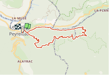
Trail Walking of 10.5 km to be discovered at Occitania, Aveyron, Peyreleau. This trail is proposed by jeff2.
Description
Décor exceptionnel magnifique y revenir
Photos


24 photos in total. Please click on a photo to see them all in the gallery.
Positioning
Country:
France
Region :
Occitania
Department/Province :
Aveyron
Municipality :
Peyreleau
Location:
Unknown
Start:(Dec)
Start:(UTM)
516821 ; 4892828 (31T) N.
Comments