


Montabone alet hilette

georghinio
User
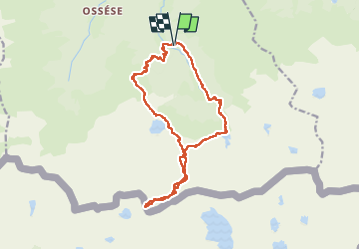

Length
18 km

Max alt
2741 m

Uphill gradient
1854 m
Km-Effort
43 km

Min alt
981 m

Downhill gradient
1841 m
Boucle
Yes
Creation date :
2024-11-01 08:37:31.0
Updated on :
2024-11-01 17:19:47.947

FREE GPS app for hiking
 SityTrail
IGN / Geographical institutes
SityTrail Plus
The world is yours!
About
Trail of 18 km to be discovered at Occitania, Ariège, Ustou. This trail is proposed by georghinio.
Positioning
Country:
France
Region :
Occitania
Department/Province :
Ariège
Municipality :
Ustou
Location:
Unknown
Start:(Dec)
Start:(UTM)
359851 ; 4735158 (31T) N.
Comments