


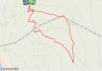
Mont Baron et Mont Veyrier

Nicolas Van Meerbeck
User

Length
5.1 km

Max alt
1298 m

Uphill gradient
423 m
Km-Effort
10.7 km

Min alt
931 m

Downhill gradient
423 m
Boucle
Yes
Creation date :
2024-07-05 12:14:11.813
Updated on :
2024-11-02 14:43:40.152
2h38
Difficulty : Very easy

FREE GPS app for hiking
 SityTrail
IGN / Geographical institutes
SityTrail Plus
The world is yours!
About
Trail Walking of 5.1 km to be discovered at Auvergne-Rhône-Alpes, Upper Savoy, Annecy. This trail is proposed by Nicolas Van Meerbeck.
Positioning
Country:
France
Region :
Auvergne-Rhône-Alpes
Department/Province :
Upper Savoy
Municipality :
Annecy
Location:
Annecy-le-Vieux
Start:(Dec)
Start:(UTM)
280694 ; 5087751 (32T) N.
Comments