


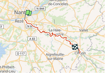
Nantes Clisson

phila128
User

Length
37 km

Max alt
46 m

Uphill gradient
455 m
Km-Effort
43 km

Min alt
1 m

Downhill gradient
420 m
Boucle
No
Creation date :
2024-11-02 08:47:44.882
Updated on :
2024-11-02 16:31:16.104
7h42
Difficulty : Very difficult

FREE GPS app for hiking
 SityTrail
IGN / Geographical institutes
SityTrail Plus
The world is yours!
About
Trail Walking of 37 km to be discovered at Pays de la Loire, Loire-Atlantique, Nantes. This trail is proposed by phila128.
Positioning
Country:
France
Region :
Pays de la Loire
Department/Province :
Loire-Atlantique
Municipality :
Nantes
Location:
Unknown
Start:(Dec)
Start:(UTM)
610348 ; 5227978 (30T) N.
Comments