


Etoile aureille

ophness
User
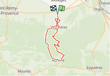

Length
29 km

Max alt
305 m

Uphill gradient
559 m
Km-Effort
37 km

Min alt
60 m

Downhill gradient
559 m
Boucle
Yes
Creation date :
2024-11-02 18:30:56.0
Updated on :
2024-11-02 18:30:57.61

FREE GPS app for hiking
 SityTrail
IGN / Geographical institutes
SityTrail Plus
The world is yours!
About
Trail of 29 km to be discovered at Provence-Alpes-Côte d'Azur, Bouches-du-Rhône, Eygalières. This trail is proposed by ophness.
Positioning
Country:
France
Region :
Provence-Alpes-Côte d'Azur
Department/Province :
Bouches-du-Rhône
Municipality :
Eygalières
Location:
Unknown
Start:(Dec)
Start:(UTM)
656687 ; 4849388 (31T) N.
Comments