


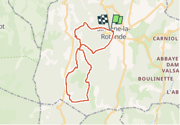
Simiane la rotonde
© OpenStreetMap contributors


5h12
Difficulty : Medium


Length
15.4 km
Max alt
982 m
Uphill gradient
568 m
Km-Effort
23 km
Min alt
648 m
Downhill gradient
559 m
Boucle
Yes
Creation date :
2024-11-03 09:04:00.086
Updated on :
2024-11-06 06:52:34.126
5h12
Difficulty : Medium
FREE GPS app for hiking
 SityTrail
IGN / Geographical institutes
SityTrail Plus
The world is yours!
About
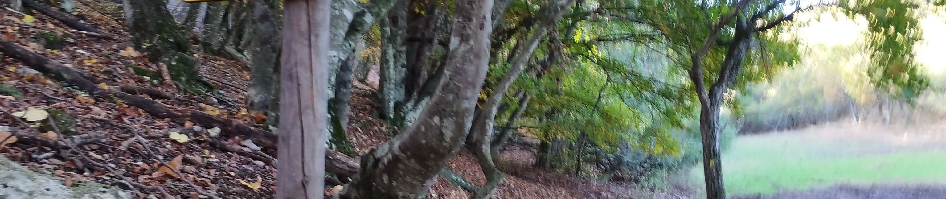
Trail Walking of 15.4 km to be discovered at Provence-Alpes-Côte d'Azur, Alpes-de-Haute-Provence, Simiane-la-Rotonde. This trail is proposed by les joyeux randonneurs.
Photos


Positioning
Country:
France
Region :
Provence-Alpes-Côte d'Azur
Department/Province :
Alpes-de-Haute-Provence
Municipality :
Simiane-la-Rotonde
Location:
Unknown
Start:(Dec)
Start:(UTM)
705406 ; 4872986 (31T) N.
Comments