


Rando Maginot Windstein

Claudele
User
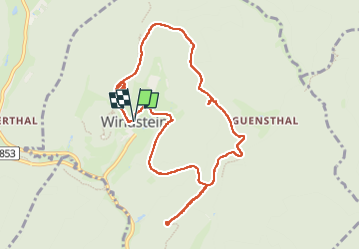

Length
10.1 km

Max alt
436 m

Uphill gradient
242 m
Km-Effort
13.3 km

Min alt
262 m

Downhill gradient
244 m
Boucle
Yes
Creation date :
2024-11-03 08:40:22.086
Updated on :
2024-11-04 10:50:38.312
3h01
Difficulty : Easy

FREE GPS app for hiking
 SityTrail
IGN / Geographical institutes
SityTrail Plus
The world is yours!
About
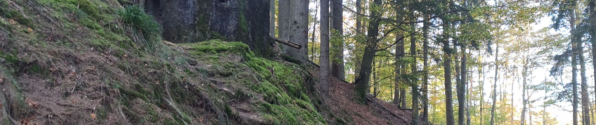
Trail Walking of 10.1 km to be discovered at Grand Est, Bas-Rhin, Windstein. This trail is proposed by Claudele.
Photos


78 photos in total. Please click on a photo to see them all in the gallery.
Positioning
Country:
France
Region :
Grand Est
Department/Province :
Bas-Rhin
Municipality :
Windstein
Location:
Unknown
Start:(Dec)
Start:(UTM)
403728 ; 5427754 (32U) N.
Comments