


GR_34_ED_32_Trebeurden_Ploulech_20241103

patrickdanilo
User
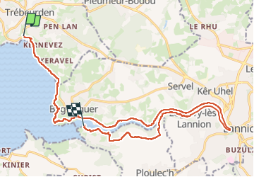

Length
20 km

Max alt
84 m

Uphill gradient
411 m
Km-Effort
26 km

Min alt
-1 m

Downhill gradient
431 m
Boucle
No
Creation date :
2024-11-03 08:41:11.335
Updated on :
2024-11-03 16:35:43.921
4h27
Difficulty : Medium

FREE GPS app for hiking
 SityTrail
IGN / Geographical institutes
SityTrail Plus
The world is yours!
About
Trail Walking of 20 km to be discovered at Brittany, Côtes-d'Armor, Trébeurden. This trail is proposed by patrickdanilo.
Description
Randonnée Marche de 20 km à découvrir à Bretagne, Côtes-d'Armor, Trébeurden. Cette randonnée est proposée par patrickdanilo.
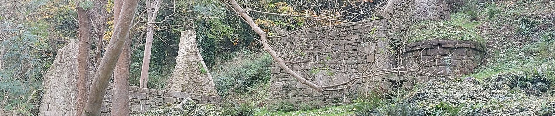
Photos


Positioning
Country:
France
Region :
Brittany
Department/Province :
Côtes-d'Armor
Municipality :
Trébeurden
Location:
Unknown
Start:(Dec)
Start:(UTM)
458442 ; 5401136 (30U) N.
Comments