


Étangs de La Gardelle

lebarça
User
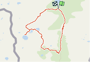

Length
11 km

Max alt
2483 m

Uphill gradient
925 m
Km-Effort
23 km

Min alt
1619 m

Downhill gradient
916 m
Boucle
Yes
Creation date :
2024-11-03 08:23:53.0
Updated on :
2024-11-05 13:15:43.838
5h17
Difficulty : Difficult

FREE GPS app for hiking
 SityTrail
IGN / Geographical institutes
SityTrail Plus
The world is yours!
About
Trail Walking of 11 km to be discovered at Occitania, Ariège, Auzat. This trail is proposed by lebarça.
Positioning
Country:
France
Region :
Occitania
Department/Province :
Ariège
Municipality :
Auzat
Location:
Unknown
Start:(Dec)
Start:(UTM)
372690 ; 4723928 (31T) N.
Comments