


GR_34_EE_33_Ploulech_St-Michel-En-Greve_20241104

patrickdanilo
User

Length
12.9 km

Max alt
70 m

Uphill gradient
329 m
Km-Effort
17.3 km

Min alt
0 m

Downhill gradient
330 m
Boucle
No
Creation date :
2024-11-04 08:41:08.108
Updated on :
2024-11-05 13:48:16.703
3h55
Difficulty : Medium

FREE GPS app for hiking
 SityTrail
IGN / Geographical institutes
SityTrail Plus
The world is yours!
About
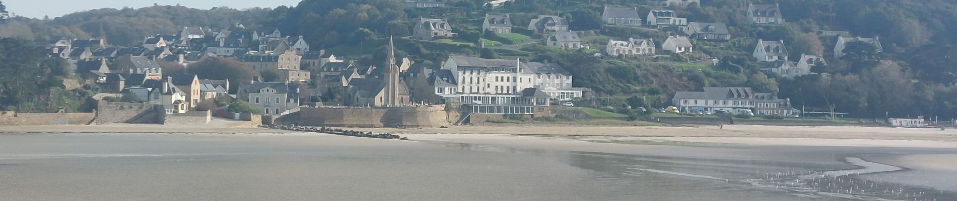
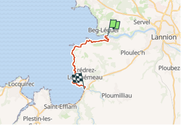
Trail Walking of 12.9 km to be discovered at Brittany, Côtes-d'Armor, Ploulec'h. This trail is proposed by patrickdanilo.
Description
Randonnée Marche de 12,9 km à découvrir à Bretagne, Côtes-d'Armor, Ploulec'h. Cette randonnée est proposée par patrickdanilo.
Photos


Positioning
Country:
France
Region :
Brittany
Department/Province :
Côtes-d'Armor
Municipality :
Ploulec'h
Location:
Unknown
Start:(Dec)
Start:(UTM)
460591 ; 5397892 (30U) N.
Comments