


REDON -ARTIERE

walrou63
User
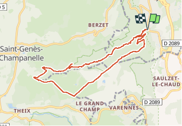

Length
10 km

Max alt
844 m

Uphill gradient
273 m
Km-Effort
13.6 km

Min alt
584 m

Downhill gradient
270 m
Boucle
Yes
Creation date :
2024-11-04 13:04:21.726
Updated on :
2024-11-06 09:56:02.981
2h30
Difficulty : Difficult

FREE GPS app for hiking
 SityTrail
IGN / Geographical institutes
SityTrail Plus
The world is yours!
About
Trail Walking of 10 km to be discovered at Auvergne-Rhône-Alpes, Puy-de-Dôme, Ceyrat. This trail is proposed by walrou63.
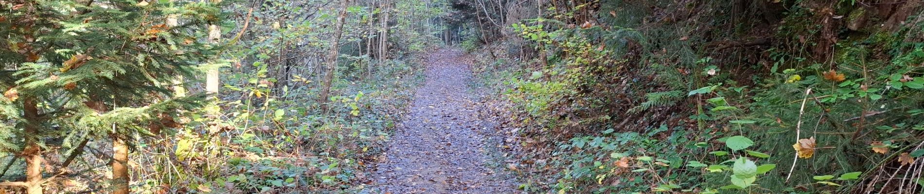
Photos


23 photos in total. Please click on a photo to see them all in the gallery.
Positioning
Country:
France
Region :
Auvergne-Rhône-Alpes
Department/Province :
Puy-de-Dôme
Municipality :
Ceyrat
Location:
Unknown
Start:(Dec)
Start:(UTM)
504930 ; 5063483 (31T) N.
Comments