


Rocher du Gueit- Camps la Source-06-11-2024

Christiancordin
User
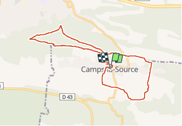

Length
10.3 km

Max alt
435 m

Uphill gradient
257 m
Km-Effort
13.8 km

Min alt
262 m

Downhill gradient
256 m
Boucle
Yes
Creation date :
2024-11-06 08:44:13.973
Updated on :
2024-11-09 17:49:08.923
2h54
Difficulty : Medium

FREE GPS app for hiking
 SityTrail
IGN / Geographical institutes
SityTrail Plus
The world is yours!
About
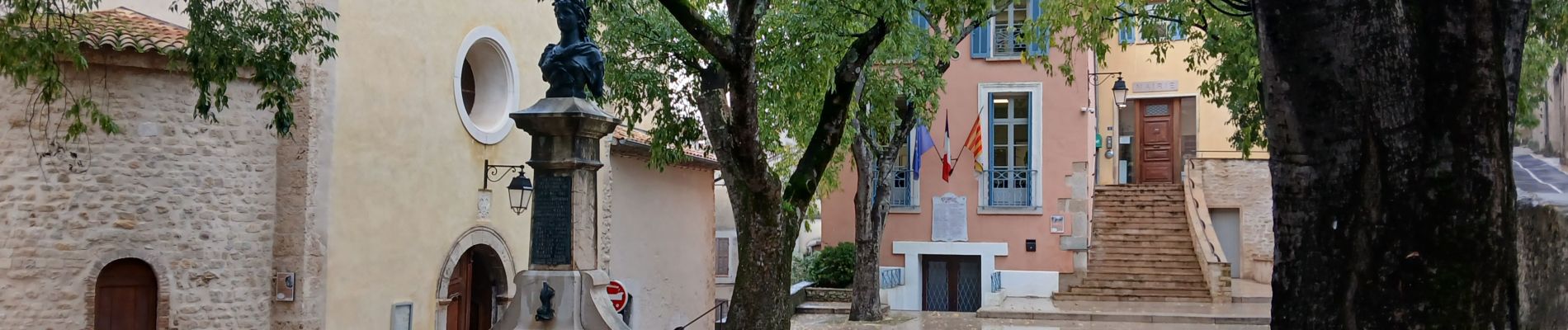
Trail Walking of 10.3 km to be discovered at Provence-Alpes-Côte d'Azur, Var, Camps-la-Source. This trail is proposed by Christiancordin.
Description
PK centre village, rocher du Gueit, théâtre de verdure, chapelle St Sébastien, Haras St Martin, Camps la Source.
Photos


Positioning
Country:
France
Region :
Provence-Alpes-Côte d'Azur
Department/Province :
Var
Municipality :
Camps-la-Source
Location:
Unknown
Start:(Dec)
Start:(UTM)
264781 ; 4807676 (32T) N.
Comments